Master Geodetic Engineering
The master program Geodetic Engenieering is a research orientated program. This means the program will help you developing skills in approaching challenging, new and unsolved problems in geodesy and the application of geodetic methods in related fields. In other words, during your study you will learn problem-solving skills rather than using standard software for standard applications.
The Program offers three different profiles.
Profiles
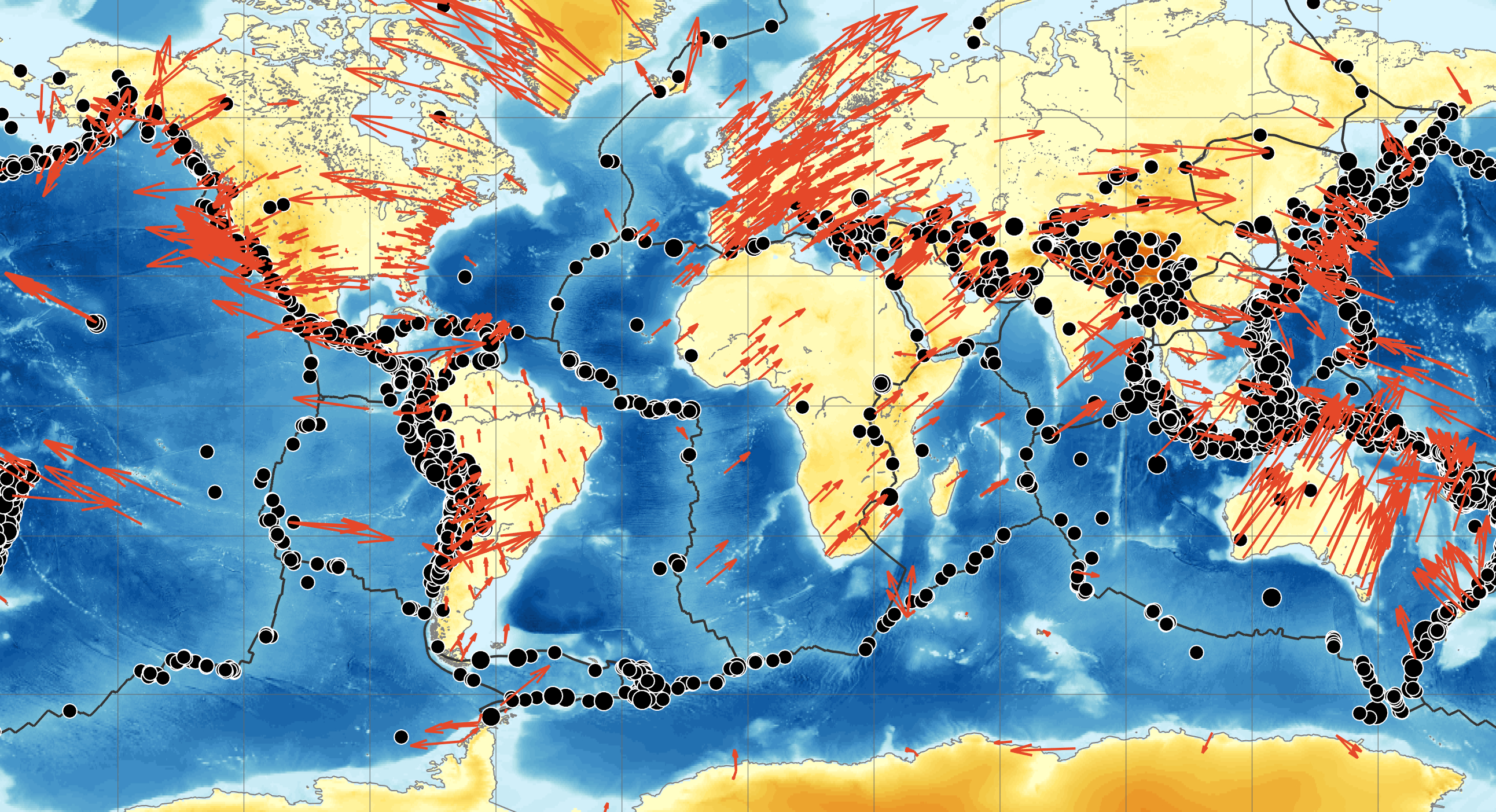
Geodetic Earth System Science and Data Analysis
The profile deals with how advanced satellite- and space-geodetic observation techniques, in combination with innovative data processing and modeling approaches, provide us with adequate information to make appropriate decisions based on empirical results and their interpretation..

Geoinformation and Spatial Developement
The profile focuses on developing and implementing innovative solutions to problems of spatial data handling and development of technologies - with advanced methods and systems - that can help decision makers and planners in a highly urbanised world.
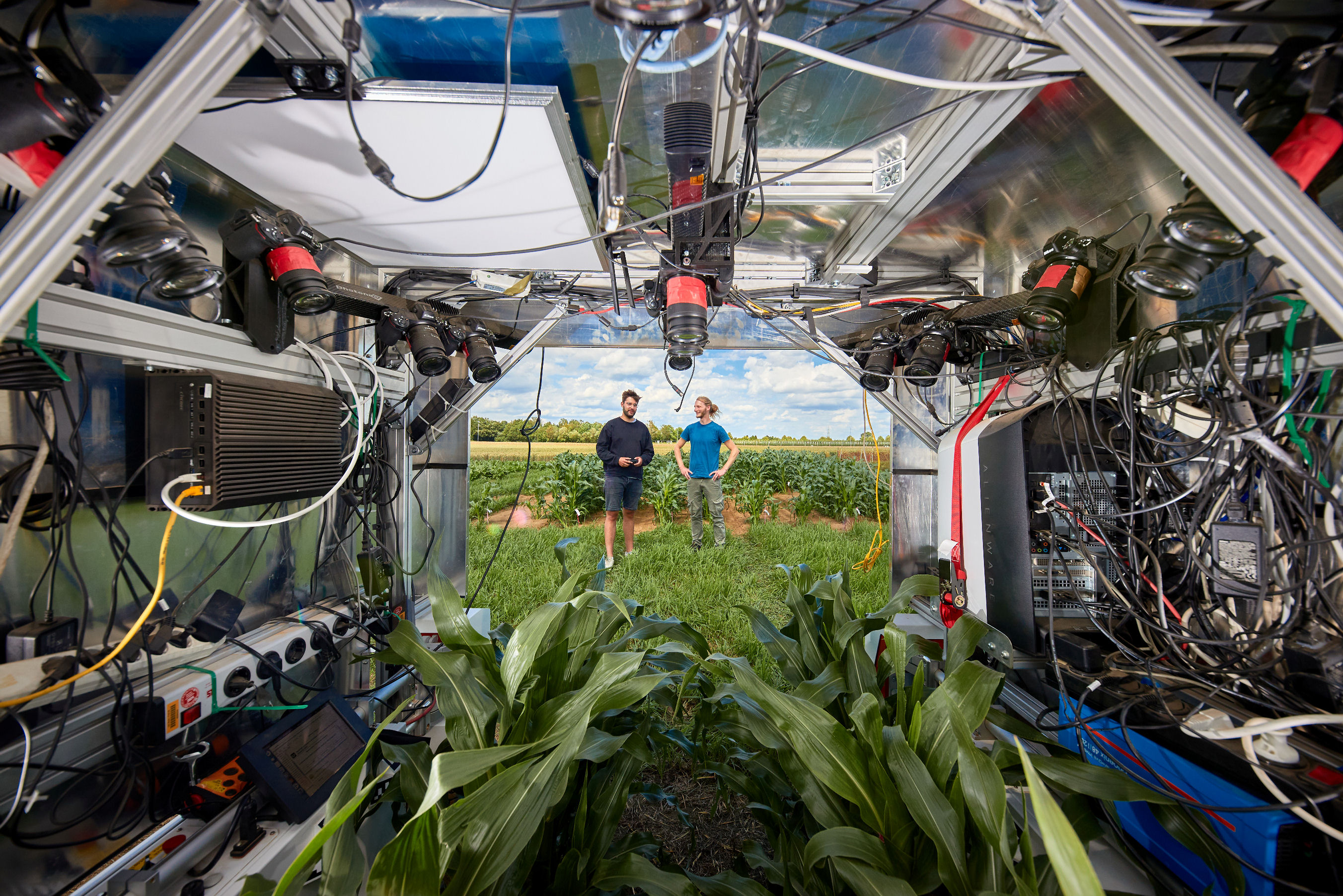
Mobile Sensing
and Robotics
The profile adresses state-of-the-art techniques for analyzing and interpreting sensor data that has recorded from moving vehicles, like cars, UAVs, robots or agriculture platforms, as well as for selecting appropriate actions based on the collected information.
Facts
| DEGREE | Master of Science (M.Sc.) |
| STUDY OPTION | Major |
| DURATION | 4 semesters |
| START OF COURSE | winter semester |
| LANGUAGE | English |
| ADMISSION | Decison of admission board |


Information about the Master's Program (M.Sc.)

Requirements & Application
All information about the requirements and the application for the Master's Program.
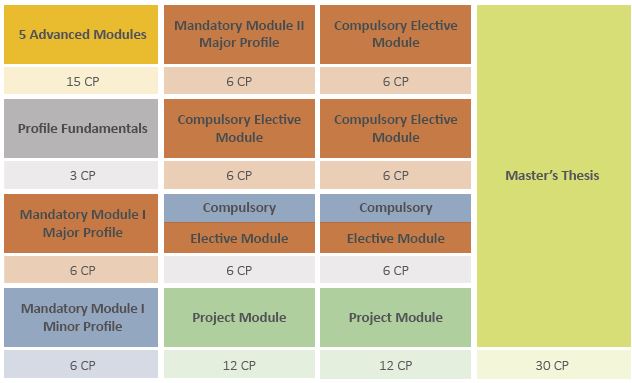
Curriculum
How is the study program structured and which subjects await you in the different profiles?
Student Advising
If you have any questions, just contact us via phone, mail or in person.

Study Start
All information for a good and smooth start at our institute.
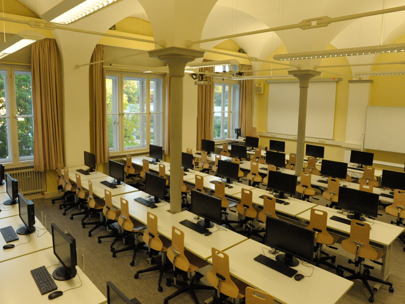
Facilities
what equipment does the study program offer: Library, computer labs and lecture halls.
After Study
Your oppertunities with a Master Degree in Geodetic Engineering
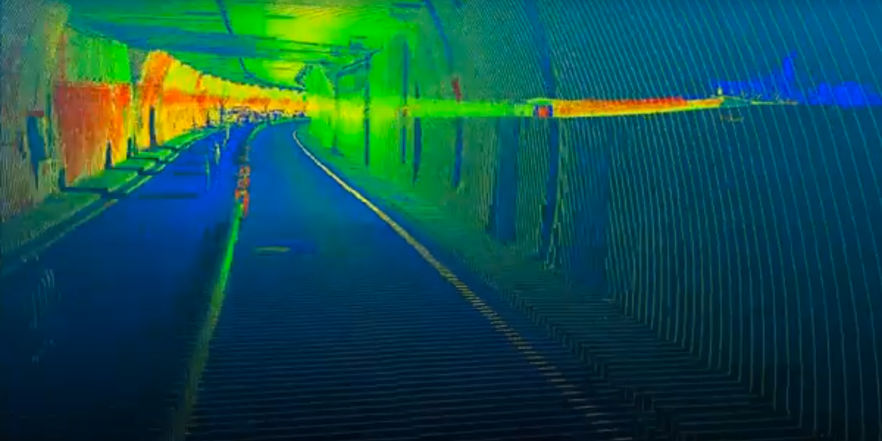
Typical geodetic disciplines
For more information just click on the picture.
Where is it ?
For a quick campus overview:
All locations around the study program.